GIS Data Research Services

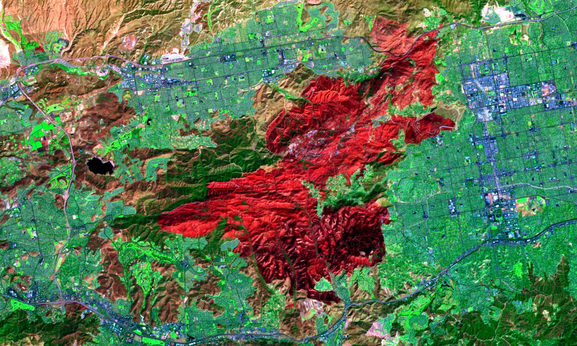
With the availablility of large amounts of free data around the internet collected through global positioning systems (GPS), high-resolution remote sensing, location-aware services and surveys, and internet-based volunteered geographic information it is possible to extract unknown and unexpected information from spatial data sets of unprecedentedly large size, high dimensionality, and complexity.
The availability of vast and high-resolution spatial and spatiotemporal data provides opportunities for gaining new knowledge and better understanding of complex geographic phenomena, such as human–environment interaction and social–economic dynamics, and address urgent real-world problems, such as global climate change and pandemic flu,dengue or any other outbreak.
Spatial data mining efforts could be applied to spatial statistics, geocomputation, geovisualization, and spatial data mining, depending on the type of methods that a research focuses on.
So if you want to have data from huge pile of databases and shape files which only concerns your project objectives let us know. We can help you find those hidden information inside your repository or any where on the internet!

