
WebGIS is an advanced form of Geospatial Information System available through a web platform. The exchange of information takes place between a server and a client, where the server is a Geospatial Information System (GIS) server and the client is a web browser, mobile application and desktop application. The server has a unique Uniform Resource Locator (URL) so that clients can find it on the web. WebGIS brings GIS into the hands of the people. It reduces the need to create custom application. It provides a platform for integrating GIS with other business systems and enables cross-organizational collaboration. WebGIS allows organizations to properly manage all their geographic data.
How it Works
Now, data no longer needs to be processed for each individual question. Web GIS is a much more flexible, agile, customizable and capable of providing efficient workflow. Because data is presented on the web in the form of web maps and map services accessible anywhere around the globe.
What webGIS can do for you:
1. Mapping /Visualization and query (attribute or spatial).
2. Collaborative collection of geospatial information
3. Geospatial analysis: measurement, optimal driving path, routing, pollution dispersion modelling, retail site selection.
4. Web GIS as a new business model and a new type of commodity. Location: specific advertising and branding based on mapping. E.g google map.
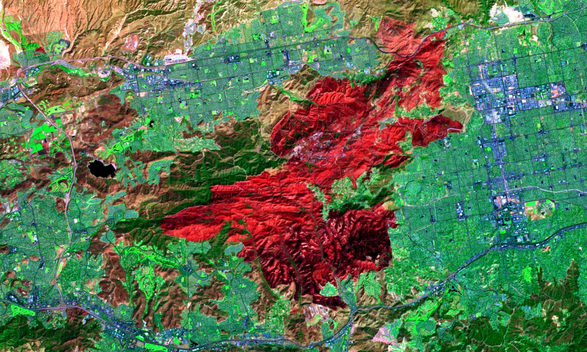
5. GIS application is an engaging and powerful tool for designing and planning government projects like flood management, forest mapping, and natural disaster.
6. WebGIS technology is used in geoscience research collaboration.
7. Web GIS in daily life: location-based service (LBS) supported by mobile web, smartphones and tablets. LBS include services to identify a location of a person or object, such as discovering the nearest atm, restaurant, shops and hotels etc. LBS also includes parcel tracking and vehicle tracking services.


