Environmental Impact Assessment

EIA is a decision process, which aims to both identify and anticipate impacts on the natural environment. The use of GIS in the EIA process, where public participation is of great importance, requires the development of applications allowing a better understanding of spatial phenomena. During the EIA process many different variables and phenomena presenting complex interrelationships, which vary in space and time are considered. These procedures involve technical analysis that includes changing assumptions and priorities and descriptions of significant visual and audible impacts.
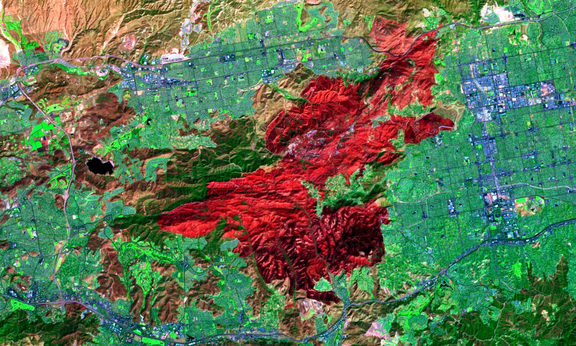
Environmental impact assessment (EIA) is a sequence of procedures to evaluate a project and to make it sound in terms of environmental conservation. It plays a vital role to protect our environment from developments which inevitably give impact on surrounding environment. EIA requires to collect various kinds of data in spatial and temporal dimensions. At Mercury Remote Sensing methodologies are used for monitoring environmental parameters in spatial and temporal dimensions in the environmental impact assessment.

