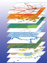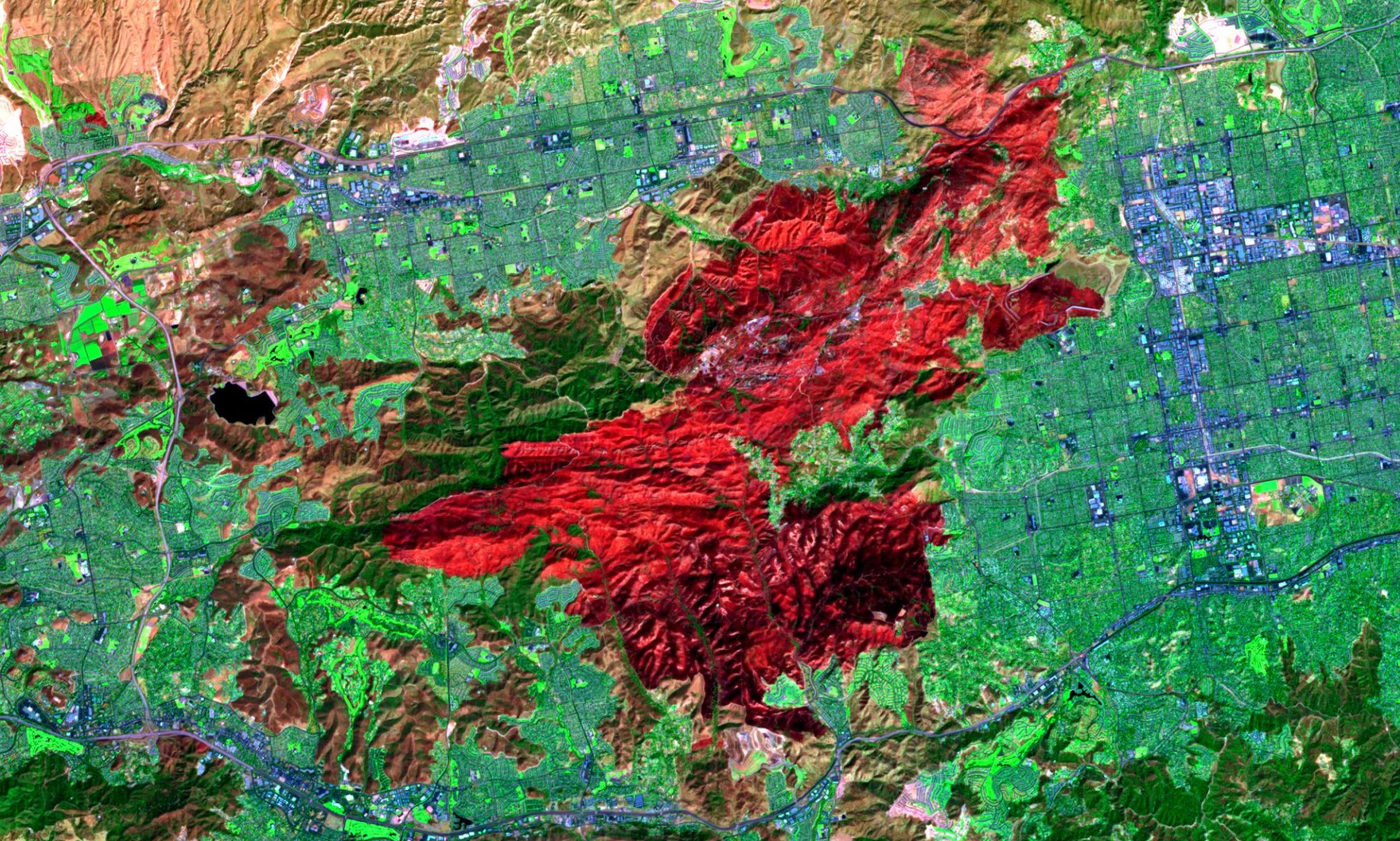
Mercury specializes in the development of data specific to your GIS needs. From digitizing local data and creating GPS records to integrating different data sources and incorporating data from your existing software, we can provide our clients with the latest technologies for the future. Our GIS technicians can assimilate your current database, GPS, and imagery to newly created data, creating customized solutions for your specific needs. Let us create the data necessary for your GIS system allowing you to concentrate on what you do best.
Data Creation
One of the cornerstones of our business has been cadastral mapping and maintenance. MERCURY uses the most up to date methodologies to create a GIS from cadastral maps and other official land record documents such as subdivision plats, surveys, deeds, legal descriptions, and tax records. By migrating the data from a hard copy map to GIS, local government departments can easily access, update, and analyze spatially accurate data saving valuable time and money. We can help you in:
• Cadastral GIS
• Addressing
• Administrative District Mapping
• Land Use Development
Data Collection
Whether you choose to have us collect your utility assets via GPS or photograph critical infrastructure, MERCURY has the experience to ensure your data collection project is done accurately and on-time. Our experienced field crews utilize the latest GPS technology providing corrected positions on the fly. The data is delivered GIS ready and will serve as either a great start to building your GIS database or an indispensable addition to your existing datasets. We have following options:
• Personnel for field GPS data collection (either alone or with your staff)
• Custom mobile GPS/GIS data creation and integration
Data Conversion
The most common data development requests we encounter include CAD data conversion and attribute compilation. MERCURY will help you identify potential data sources and evaluate the best approach to creating or enhancing your GIS.
• Data Conversion
• Database Migration

