
Infrastructure Development

In the present scenario there is a major shift in transportation system from railways towards the road sector, which has envisaged the Government development of roads and highways. New roads and highways are being designed and built, as well as the existing highways are being upgraded to 4/6 lanes along with the super expressways. The technical know-how of present day road designing depends on various factors viz. socio-economic criteria, demographic analysis, Landuse / Landcover pattern, topography, etc.
In Highway / Super Expressway designing, location of a line is the most important criteria in terms of Geo-referenced Physiographic configuration which include, Spatial Datasets/baseline information i.e. Drainage Pattern, Landform features (i.e. terrain characteristics) ,Physical/ Natural Processes (including dormant one),Hydrological condition,Geomorphic Soil type, Landuse / Landcover, Existing Transport Network and Settlement characteristics.
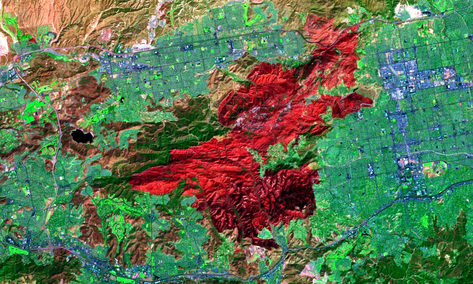
In this regard the spatial baseline information could be generated through terrain analysis and classification using Remote Sensing data. Space borne Remote Sensing and Geographical Information Systems are the most modern tools for generation of the aforesaid spatial data with temporal changes and subsequent integration and analysis of the spatial data to conclude on “strategic datasets” (i.e. Geoinformation) giving emphasis on type of engineering work to be carried out.
The Geoinformation provide vital information regarding ‘vulnerable land units’ for geotechnical adjustment (through structural means) and social adaptations (non-structural means) along the proposed Highway route. These new technologies could be utilized by the planners / executives for successful planning and execution of engineering activities and to increase the bearing strength of the road. Usage of Remote Sensing and GIS technologies may be considered as the essential prerequisite for careful physical spatial planning to make optimum use of the roads as communication links for all seasons as a great amount of money are invested in planning and construction activities of the roads.