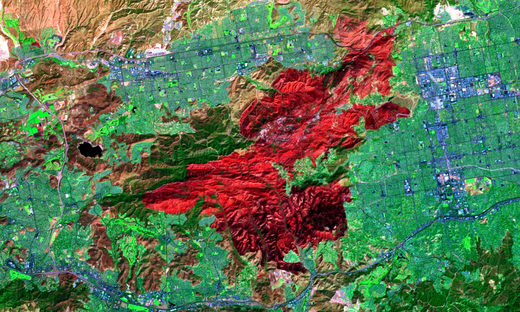

Vegetation Mapping

Understanding and estimating vegetation mass and productivity in recent years has become increasingly important, especially with advancements in environmental economic valuation. Urban planners have realized the vital role vegetation plays in reducing ambient temperature, moisture and pollutant capture, energy use and subsequent ground level ozone reduction. Vegetation mapping through the use of advanced remote sensing technology enables agronomists, economists and marketing professional to quantify and qualify the amount and health of vegetation during the cropping season. Growth models, climate change scenarios and detailed valuation studies can be carried out, allowing for accurate day to day management and future planning.
Food Security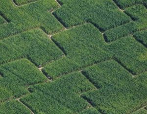
The regular and timely monitoring of agricultural resources at regional to local scale is vital for economic and environmental purposes, as well as for appropriate response to food security issues at global scale. Remote sensing has shown a high potential to provide valuable information regarding the extent, status and management of agricultural land at various spatial and temporal scales.
Our expertise in various aspects of the agricultural systems can help national to global monitoring activities, crop area estimates and yield predictions, retrieval of crop biophysical characteristics, data assimilation in mechanistic crop growth models, and application of remote sensing in precision agriculture (e.g., irrigation water management, fertilization). We can help in: