Renewable Energy Resource Location

Wind Farms
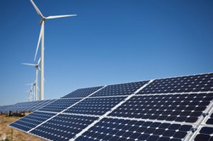
Detailed knowledge of the wind resource is necessary in the developmental and operational stages of a wind farm site. As wind turbines continue to grow in size, masts for mounting cup anemometers—the accepted standard for resource assessment—have necessarily become much taller, and much more expensive. This limitation has driven the commercialization of remote sensing (RS) tools for the wind energy industry.
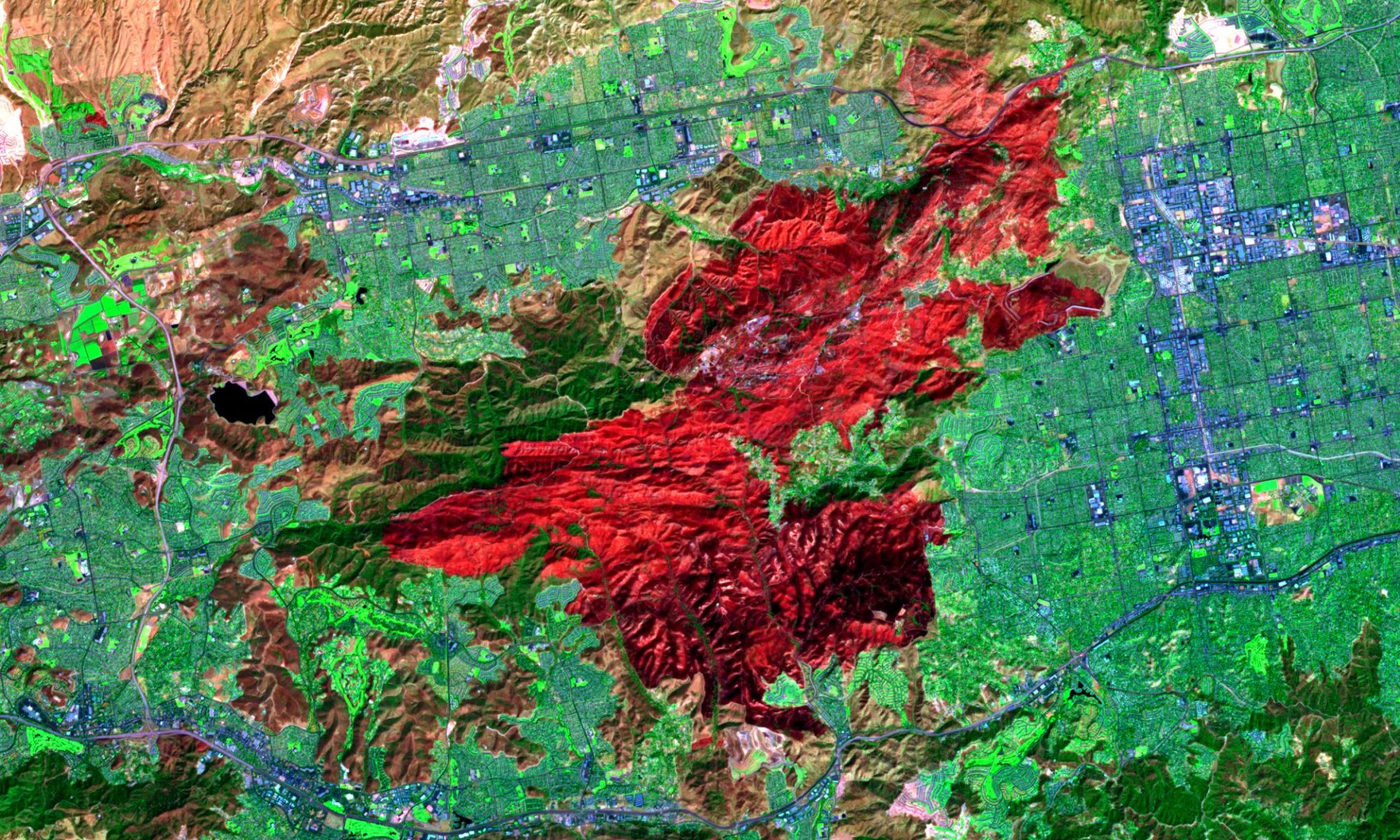
Satellite-based remote sensing can aid in realizing the potential of renewables. While not directly involved in the generation of energy, application of this complementary technology is in the supply of information for determining the optimal location of generating facilities, as well as for operational decisions of generating facilities and electric power grid management. Wind farm projects present a multi-dimensional challenge to designers.
There are many factors that can determine optimal wind farm location, including distance from the electrical grid, local meteorological conditions, environmental concerns, geomorphology and local obstruction dynamics. As a general rule for wind farm location, wind power potential is the cube of wind speed, meaning that power outputs will vary greatly with small differences in wind speeds. Thus, the success of wind farm projects depends on precise turbine placement because meters can mean megawatts. Carrying out a detailed wind farm location study using GIS data can help to optimize turbine placement and provide answers to other design challenges.
GIS data is used to establish optimal turbine tower elevation, turbine placement, slope studies, visualizations, electrical transmission connection and transportation access. Further value of a detailed up-front survey is the benefit from use of the data for follow-on development and approval processes such as infrastructure planning as well as environmental impact assessments and permit applications.
Much experimental work has been done to use satellite-based imaging technology as a tool in resource assessment for solar energy. Satellite techniques offer a relatively inexpensive method of assessing solar irradiance over large areas. Even low-resolution data using moderate-level technology could provide a useful starting point for subsequent ground-based measurements, saving both time and money.
Solar Energy
The solar energy sector has seen explosive growth over the last decade, allowing photovoltaic cells to become more efficient at capturing solar energy, and to be manufactured at lower costs. Due to the availability of affordable photovoltaic cells, energy planners have taken an interest in assessing the feasibility of widespread solar cell implementation. However, all areas do not have the same solar energy potential. Depending on the height of surrounding trees and buildings, and the slope and orientation of the surface, potential solar energy will differ with the characteristics of each area.
Satellite data can be used to create high-resolution shadow maps, which are used to identify optimal locations for maximizing solar energy potential. Energy planners can then accurately calculate realistic solar energy inputs and compare them with energy demand and price forecasts. A practical application of LiDAR data has recently been developed by researchers at the University of British Columbia in the form of a solar calculator designed for homeowners to assess the cost/benefit of installing rooftop solar heated water systems.
GIS data can also be used in the development of large-scale solar energy farms, as remotely sensed data can provide engineering ready data that is used in feasibility studies, front end engineering and design (FEED) phases, and construction phases. New solar energy farms also have to connect to the electrical grid through either new transmission lines, or by tapping into existing lines. Whether a new transmission line or an existing transmission line is used, accurate models are required to test the expected performance of the transmission line under various climatic and load conditions to ensure operational compliance requirements are met.

