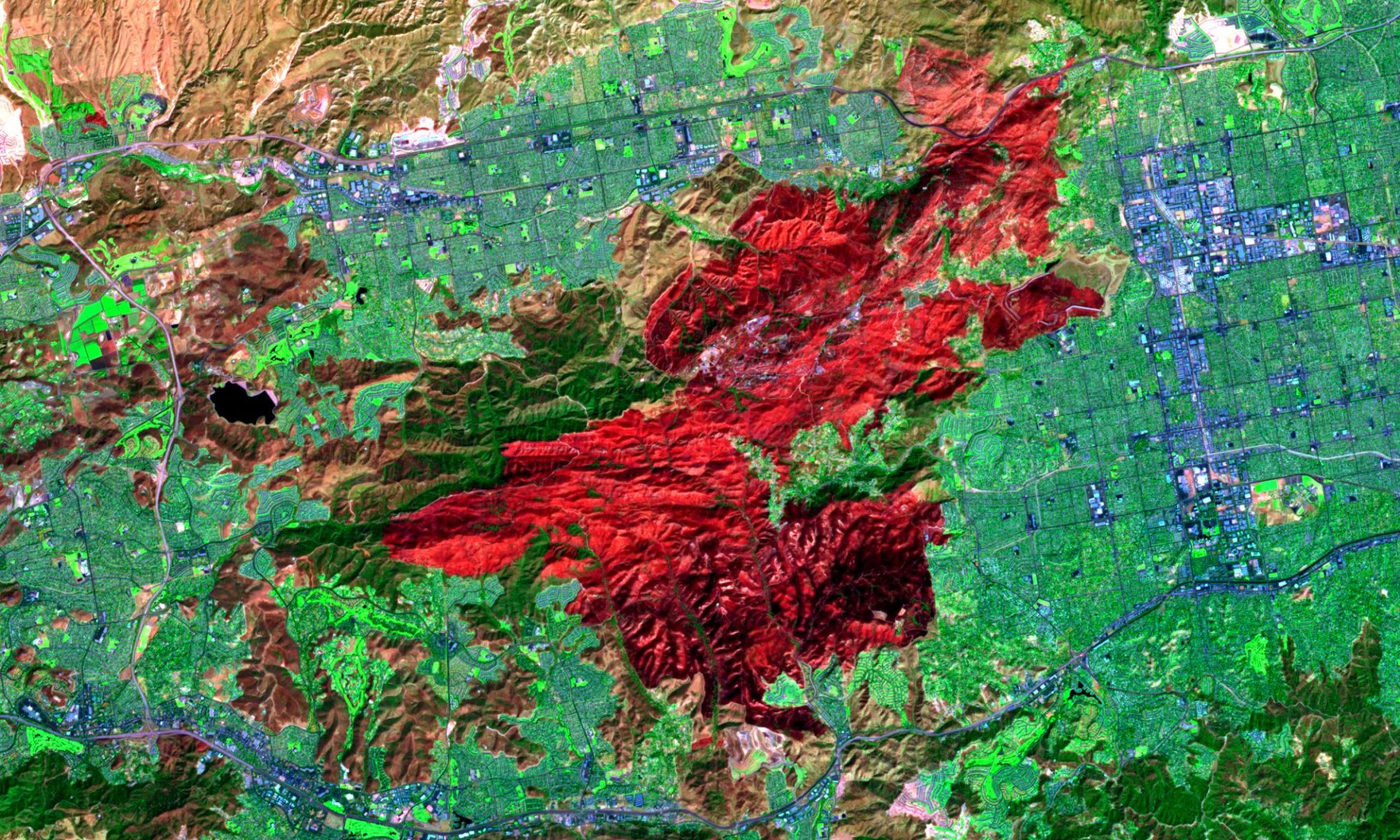

Geovisualization Services

Geovisualization in spatial data mining is one of the main methods that has recently been the subject of knowledge discovery research in geographic information science. Geovisualization is often referred to as knowledge discovery in that it produces previously unseen patterns from a larger set of data.
Due to the increase in geospatial data, any techniques that can sift through large sets of data quickly and efficiently are in high demand. Geovisualization uses visual representations to facilitate thinking, understanding, and knowledge construction about human and physical environments, at geographic scales of measurement.
It augments human visual ability in perceiving highly complex structures, and detecting, exploring, and exploiting significant patterns. It integrates scientific visualization with traditional cartography, and can be utilized at data pre-processing, spatial data mining, and knowledge construction. The main purpose of Geovisualization, however, is more on insight rather than maps.
Geovisualization may include extensive consultation between GIS experts with domain experts , and might result in several alternative problem specific models. Geovisualization provides theory methods and tools for the visual exploration analysis synthesis and presentation of data that contains geographic information.
Mercury applies Geovisualization in the knowledge discovery process for problems specific spatial models and integrates Geovisualization concepts and processes to provide task specific maps to improve planning and decision making.